


I spent a few hours walking through South Point Douglas the other day into the nooks and crannies of where the proposed stadium development is supposed to go. I used the above map from blueandgold.ca and this related Free Press story that as a guide.
Here's what I found ...
Here's what I found ...

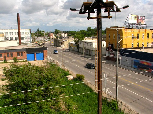
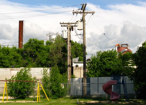
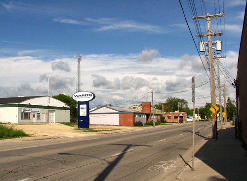
I started at Waterfront drive, past the new condos and the rejuvenated waterfront area and then up to the Disraeli Bridge which is the eastern tip of the project. From the bridge you can look down onto what could one day be the stadium.
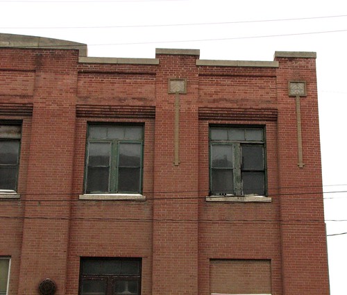
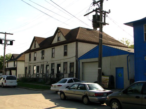
With the exception of the King's Hotel and a run down apartment, the land is mostly industrial with large parking areas for places like Direct Transfer and National Upholstery. There are a number of vacant lots until you reach Curtis Street, which is where the footprint of the stadium appears to end and the parking begins.
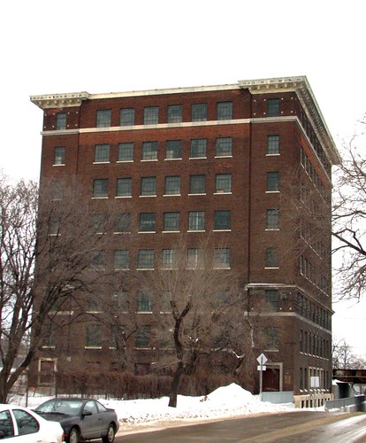
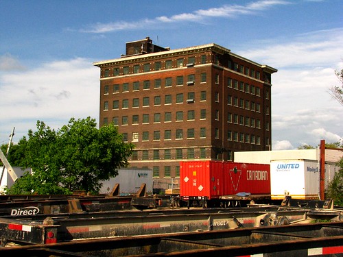
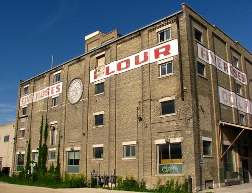
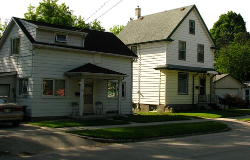
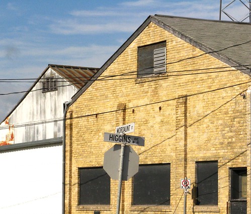
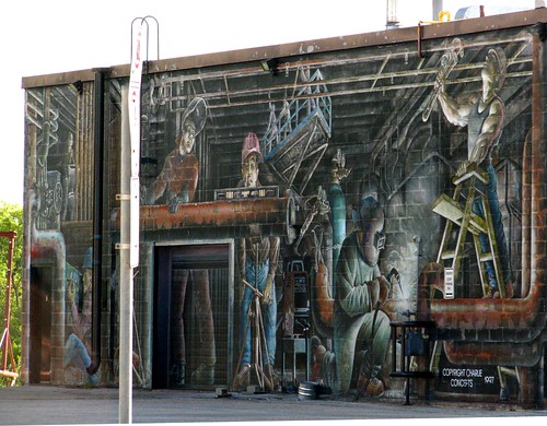
On the north side of Annabella Street you find one of the more significant buildings that would have to be torn down. It's the JR Watkin's building (of 'Watkin's Products' fame) and is currently used for warehousing and artists space.

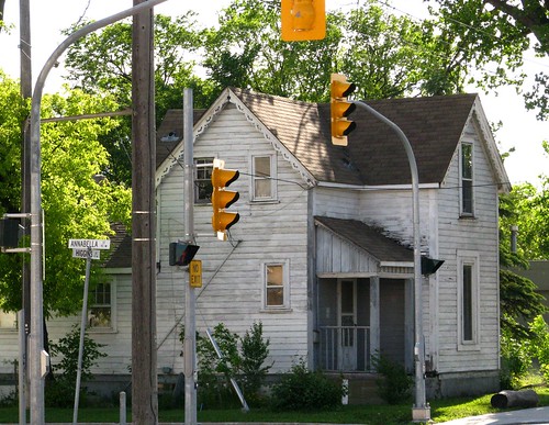
On the north side of Annabella Street you find one of the more significant buildings that would have to be torn down. It's the JR Watkin's building (of 'Watkin's Products' fame) and is currently used for warehousing and artists space.
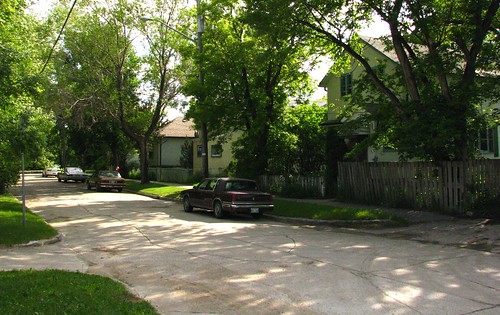
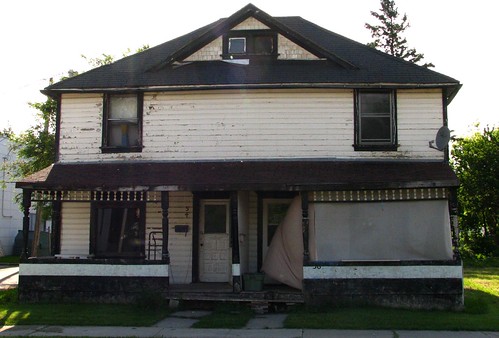
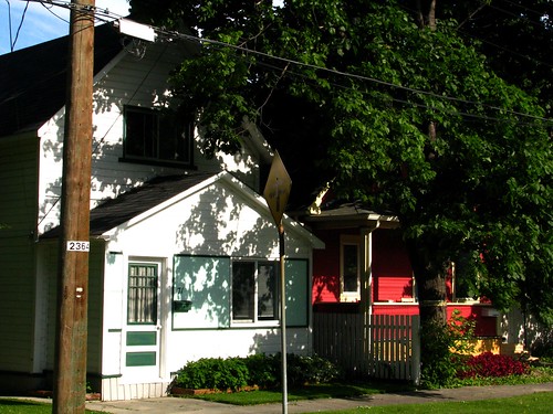
At Curtis Street and Higgins is where you start to find housing. On the south side, there are about a half dozen houses between it at Annabella.
I spoke to one lady living on Annabella. She's obviously not happy about the plan. What seemed to get her the most was that her house would be a parking lot of all things - not even part of a building. She also said that a lot of work had gone into creating a master plan for the area, so for the city to turn 180 degrees on them so quickly because someone waved some cash seemed insulting.
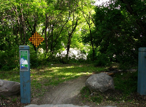
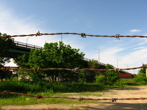
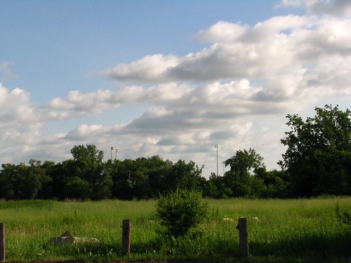
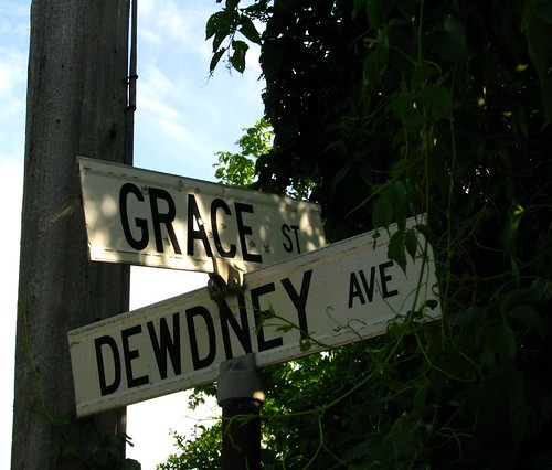
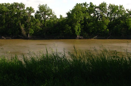
At the end of Annabella is the river trail. The trail could continue past there, but it's just not developed yet.There is one house on Dewdney that takes up part of the riverbank and the rest, up to the Gateway Industries' land, is undeveloped and public.
So, when Asper talks about the project 'finally opening up the riverbank' to Winnipeggers, he means finally continuing the development of the existing public walkway and privatizing it.
Someone told me that Gateway had been approached by the city on different occasions to negotiate for use of the land to expand the walkway but that Gateway was asking too much for access.
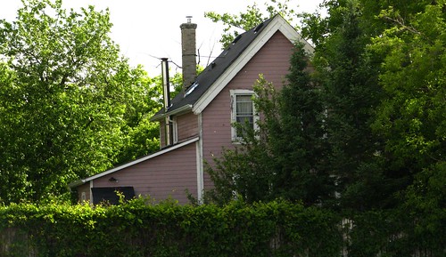
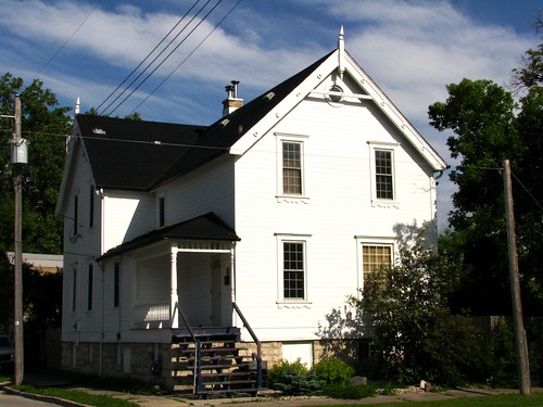
Just north of Annabella are two buildings that will be saved, according to the plan. One on the south side across from the former Abel Warehouse site.
So, what did I learn after a couple of hours in Point Douglas ?
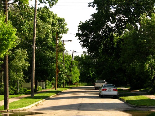
- I was surprised at how few houses there were. Maybe 30 in total? I thought there would have been more.
- I was surprised at how vast the site was. That was a long, long hike and I didn't even go into the Gateway property.
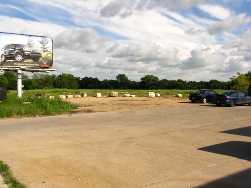
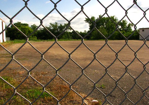
- I was surprised at how much of the land is already vacant, especially on the south side of Higgins.
Here are some more photos of my walk:

2 comments:
This is excellent! I grew up just across the Louise Bridge from there, and always found that little neighbourhood fascinating.
Thanks for the tour.
Post a Comment